About 6.3 Ma–present
5.3 million years · Four geological systems
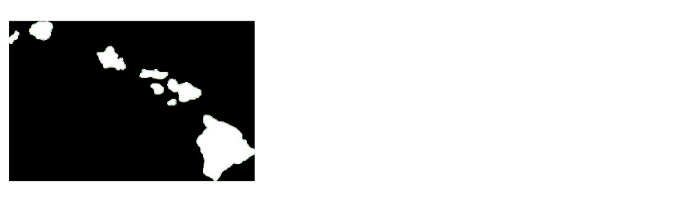
A research-based statewide reconstruction showing how volcanoes built, joined, eroded, subsided, and separated into the eight main Hawaiian Islands.
The statewide view
Every system is sampled at the same age in each frame. The islands move west-northwest with the Pacific Plate while new construction appears at the southeastern end of the chain.
This is a generalized reconstruction—not recovered imagery or a numerical geodynamic simulation. Ancient shorelines, lava paths, surface texture, and vegetation are partly illustrative. The plate translation is an explanatory frame, not a complete plate-kinematic model.
A shared chronology
Start ages are rounded storytelling boundaries, not claims that emergence happened at one precisely known instant.
Kauaʻi · Niʻihau
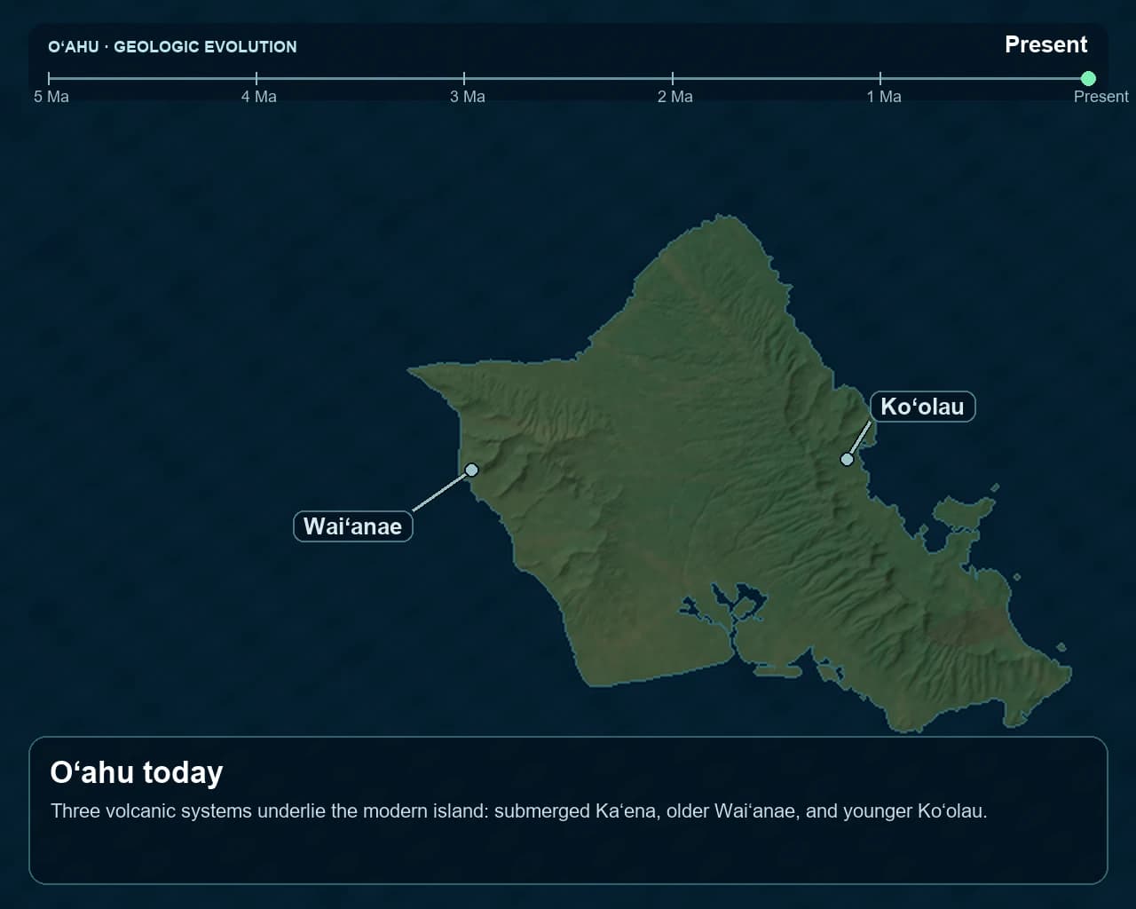
Oʻahu
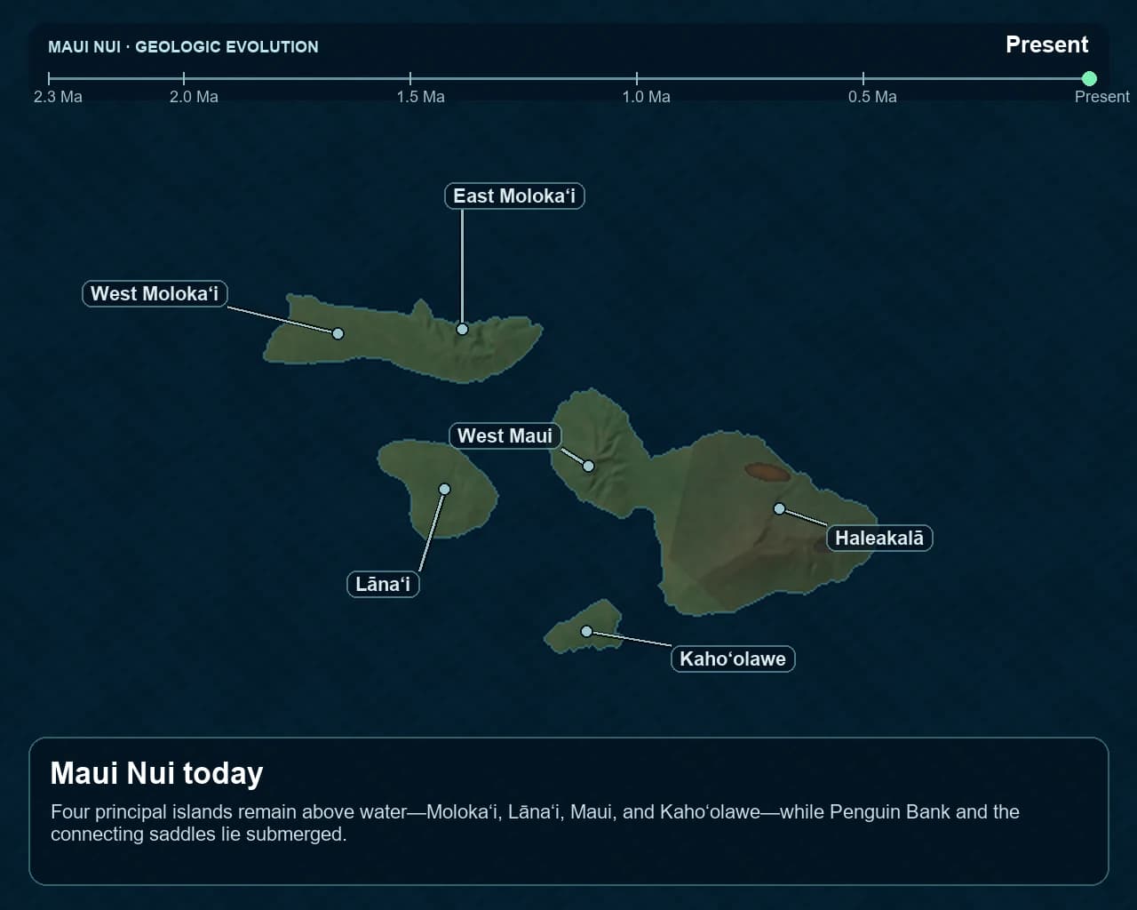
Molokaʻi · Lānaʻi · Kahoʻolawe · Maui
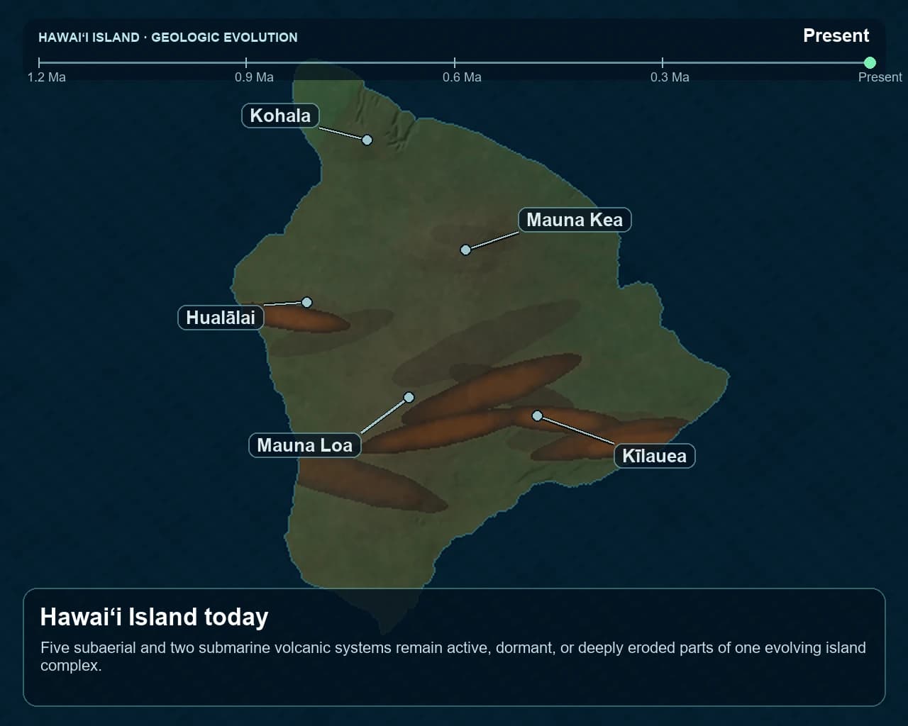
Hawaiʻi
Explore the chapters
Each chapter preserves the evidence, assumptions, limitations, transcript, and sources behind its reconstruction.

About 6.3 Ma–present

About 5.0 Ma–present

About 2.3 Ma–present

About 1.2 Ma–present
Evidence to animation
The purpose is not to manufacture certainty. It is to make a long, incomplete geological record understandable while keeping the limits visible.
Published ages, mapped geology, modern terrain, bathymetry, and competing interpretations are collected before visual modeling begins.
Each reconstruction records its time range, model rules, anchor states, uncertainty windows, and what is intentionally outside scope.
Where the evidence supports it, volcanic systems retain stable identities as their surfaces grow, overlap, erode, and subside.
Checkpoint images and motion tests are reviewed for chronology, scale, geography, continuity, readability, and the modern endpoint.
The public chapter explains the evidence, limitations, sources, model version, review status, and narrative transcript.
Scientific transparency
Every chapter separates observations from scientific inference and visual interpolation. That distinction matters most where ancient coastlines, collapse timing, and submerged surfaces cannot be directly recovered.
Dated rocks, mapped geology, measured modern terrain and bathymetry, and published structural interpretations.
Broad former scale, emergence windows, overlap, subsidence, erosion, and the changing contribution of individual volcanoes.
Exact prehistoric shorelines, lava paths, surface texture, vegetation, and interpolation between evidence anchors.
Present scope
This series currently covers the eight main Hawaiian Islands through four related volcanic systems. The Hawaiian–Emperor chain continues far beyond Kauaʻi and Niʻihau, but the older Northwestern Hawaiian Islands require their own evidence review and are not reconstructed here.
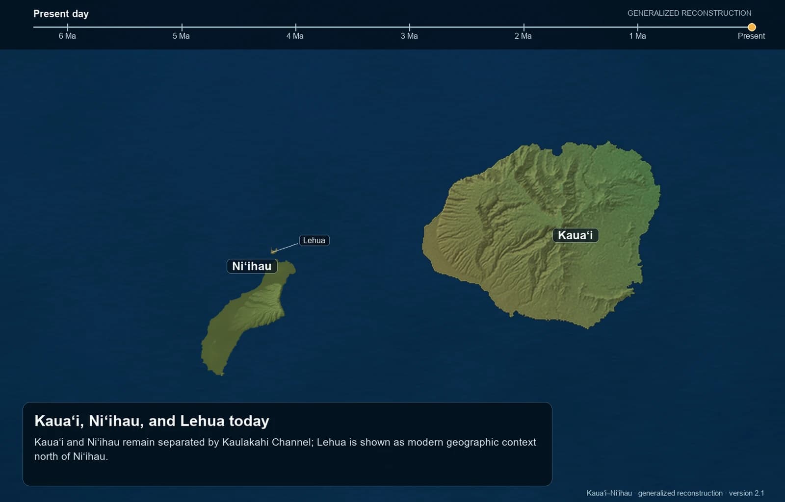
The Kauaʻi–Niʻihau chapter models the islands as separate volcanic systems and does not portray a broad subaerial connection. Lehua appears only as modern geographic context; its formation timing is not reconstructed.
Accessible text
The film is silent. These are the same narrative cues burned into the presentation and supplied as optional captions.
Visible land begins the story as the Pacific Plate carries the growing chain west-northwest.
The islands are modeled independently; their ancient shorelines and any connection between them remain uncertain.
New volcanic construction becomes visible while Kauaʻi and Niʻihau continue moving northwest.
Waiʻanae and Koʻolau build in sequence as the older islands continue subsiding and eroding.
The next volcanic system is still developing below sea level.
Overlapping shields join much of Molokaʻi, Lānaʻi, Kahoʻolawe, and Maui above sea level.
West Maui and Haleakalā rise within the connected landmass.
The older island systems continue moving northwest and wearing down.
Channels open across Maui Nui while new land becomes visible at the southeastern end of the chain.
Several volcanoes overlap to form the youngest and largest island.
Volcanism persists as erosion, subsidence, and changing sea level keep altering the islands.
Rising seas cover low coastal plains and former connections.
The cycle continues southeast—and northwest beyond this frame.